

2019 SABR Analytics: Listen to highlights from Clay Nunnally’s Lidar and Ground Truth Testing talk
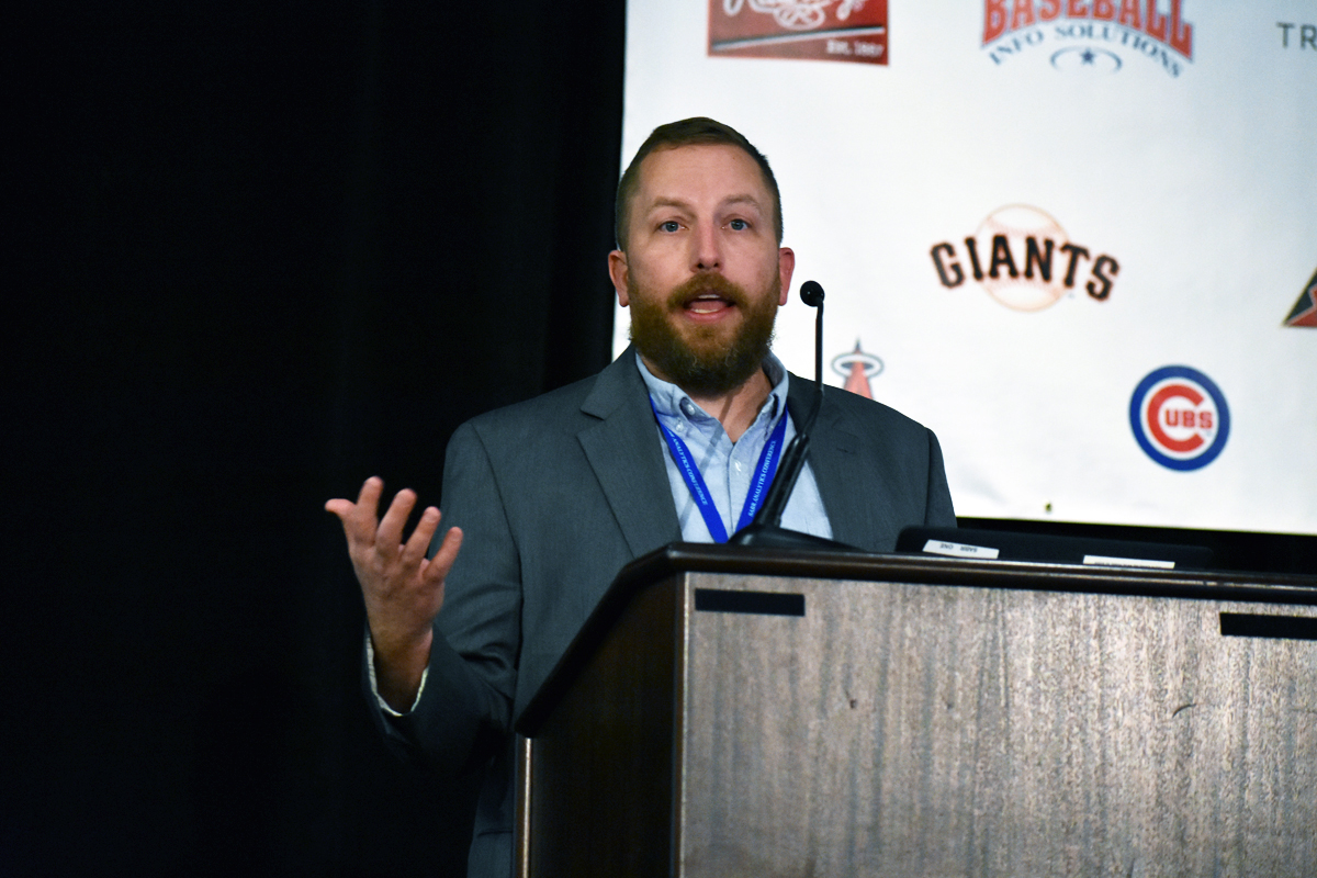
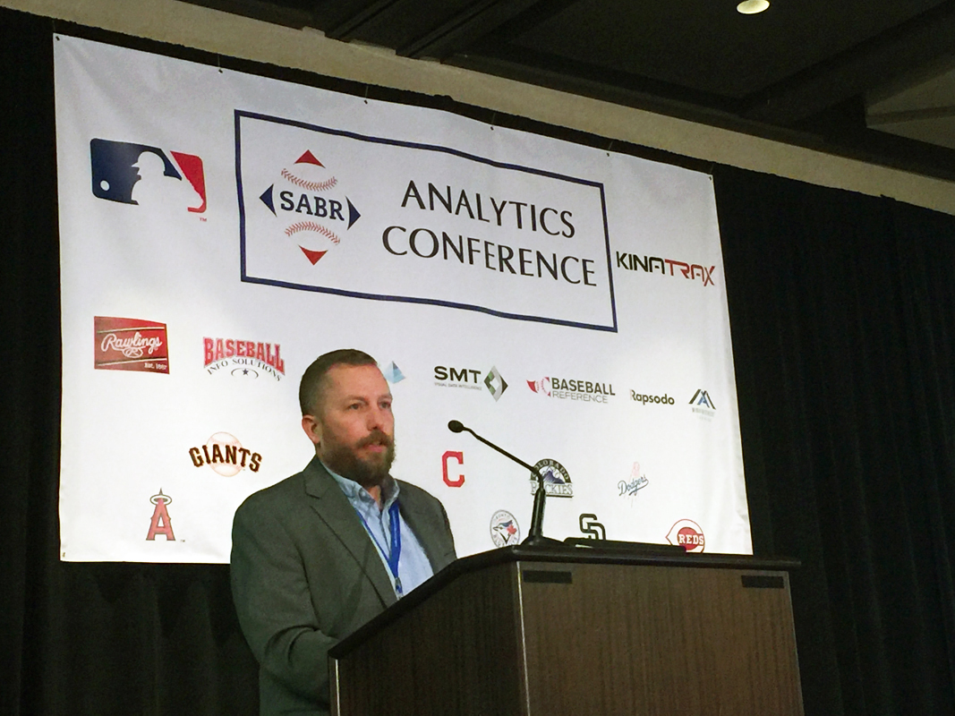
At the 2019 SABR Analytics Conference, presented by MLB and KinaTrax, on March 9, 2019, MLB Baseball Scientist Clay Nunnally discussed the concept of Lidar and Ground Truth Testing.
Nunnally began working in January 2018 as a Baseball Scientist at Major League Baseball. Since 2008, he served as the Chief Operating Officer at Applied Physical Electronics. He holds a bachelor’s degree in physics from Abilene Christian University, a master’s degree in engineering physics from the University of Virginia, and a Ph.D. in electrical engineering from the University of Missouri.
- Audio: Listen to highlights from Clay Nunnally’s Lidar and Ground Truth Testing talk at the 2019 SABR Analytics Conference (MP3; 25:59)
- Slides: Download the presentation slides from Clay Nunnally’s Lidar and Ground Truth Testing talk (.pptx)
 Here are some highlights:
ON THE CONDITIONS NEEDED FOR GROUND TRUTH TESTING
- “When we perform ground truth on a park, we control the environment. We want to make sure we’re not confusing things when we take data, so we want to minimize noise sources in the environment. We don’t want mowers to be driving. We prefer birds not to be flying in front of our radar. We don’t want people watering. We don’t want the batting cage. We don’t want the hitting mat. We need a clean field so we can measure something very specific, and that very specific thing in this context is plate crossing data.”
ON THE PROCESS OF GROUND TRUTH TESTING
- “We wind up filming these pitch events, and before we film them, we calibrate the volume by taking reference images of this calibration board. There’s nothing super special about this calibration board, but it does have two planes that are not colinear, the dots are a very specific well known size, and the spacing is very well known.”
- “The next part is we actually film the pitch with some expensive cameras. … Both of these cameras can ultimately measure position of the ball as it’s near the strike zone. We also film these at a very high frame rate (2,500 frames per second), and at that frame rate the ball travels about 0.7 inches between frames.”
- “The last part of this is typically done in post-process. … To extract the coordinates to actually identify the plate crossing coordinate … we’ll identify the frame where the ball is closest to that front face (of the zone), then we’ll take the three frames before and the three frames after it, and we’ll use a linear interpolation of all those points. We do that so we’re not banking on being really lucky in actually imaging a ball.”
 ON LIDAR TESTING
- “Lidar is like radar, but it’s with a laser. What lidar can do is measure some scene, some volume, with very high precision at long ranges. This is typically deployed on drones … it’s used to look at very minute deflections for rocket launches and construction sites.”
- “We have 3D models of basically every park, but they are made before the park was actually built. What lidar allows us to do is look at what’s called an ‘as-built form’ so we cannot just see what was planned to be built, but how it actually came out.”
ON STADIUM VARIATION
- “(Ground truth testing) gives us pretty characteristic fingerprints on how accurately we can track pitches across the league, so it’s important to look at one particular stadium, but it’s even more important to look at the continuum of stadiums across the league. We want to minimize how much our tracking system varies from park to park.”
- “With lidar technology, we can accurately measure range-to-wall in every park. The other thing I should say about lidar, is not only is it accurate at long ranges, but using the same measure method at every park ensures a level of consistency.”
For more coverage of the 2019 SABR Analytics Conference, visit SABR.org/analytics.
Originally published: March 25, 2019. Last Updated: July 27, 2020.